Mapping fruit trees

For the vegetable
garden, I keep most of my data on a spreadsheet, which makes it easy to
deal with variety changes. It's much tougher to grid off trees
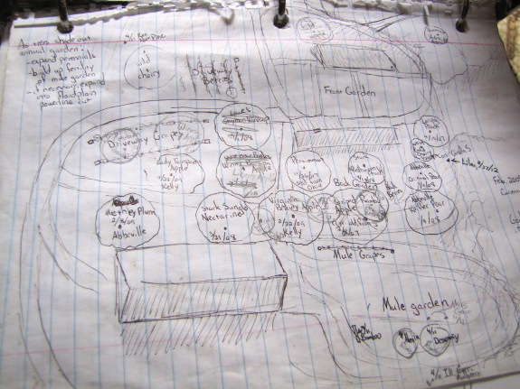
and berries into permanently named regions, though, so I end up keeping
variety locations on paper maps like the one above (with other data
like source and planting date on a spreadsheet). Paper maps are
all good and well at first, but when trees die and new ones are
planted, the maps start to get confusing. Plus, I have a tendency
to draw new maps but leave the old ones in the binder, so I often don't
know which page is the most up to date.

 I decided to take an hour on
a snowy morning to get my notes in order so I knew what was
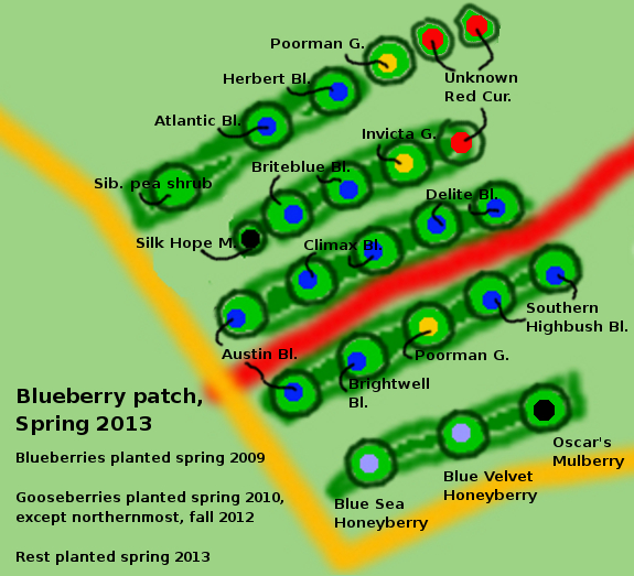
where. First stop was the blueberry patch, which is getting extra
beds and species this winter. In case you're reading the map
above carefully, the mulberries have tiny little zones because I plan
to keep them small via coppicing, using
the leaves for silkworms. The honeyberries, Siberian
pea shrub, and
mulberries haven't actually arrived yet, but should be here any day
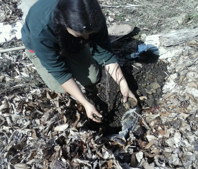
now, and the currants went in the ground Friday.

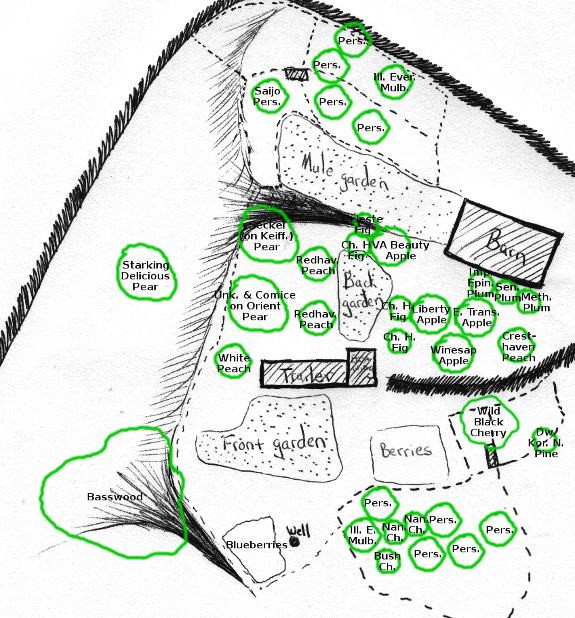
And here's a zoomed-out
map showing current tree locations, a printed copy of which will form
the base for the next few years' annotations. There's not much
room for more perennials, but I hope to fill in the few gaps and then
add trees into a new location or two --- perhaps the hill above the pig
pasture, the shady
zone north of the barn, or the equally shady valley south of the
well. Hopefully by the time I need to make the next revised map,
all of the oldest trees
will be in full fruit.
Want more in-depth information? Browse through our books.
Or explore more posts by date or by subject.
About us: Anna Hess and Mark Hamilton spent over a decade living self-sufficiently in the mountains of Virginia before moving north to start over from scratch in the foothills of Ohio. They've experimented with permaculture, no-till gardening, trailersteading, home-based microbusinesses and much more, writing about their adventures in both blogs and books.
Want to be notified when new comments are posted on this page? Click on the RSS button after you add a comment to subscribe to the comment feed, or simply check the box beside "email replies to me" while writing your comment.

Thanks for the inspiration and the validation! I have five new fruit trees (pear/apple/cherry)waiting for this late March snow to melt and go in the ground. I spent a dry cold January with the 100' tape measure and a pad of graph paper observing, plotting, thinking and finally desciding. Thanks to you those paper plans can go into the digital Orchird Diary Log in fine fashion, searchable and easily updatable.